07 — Spatial & Satellite Data
Spatial analysis, remote sensing, and nighttime lights.
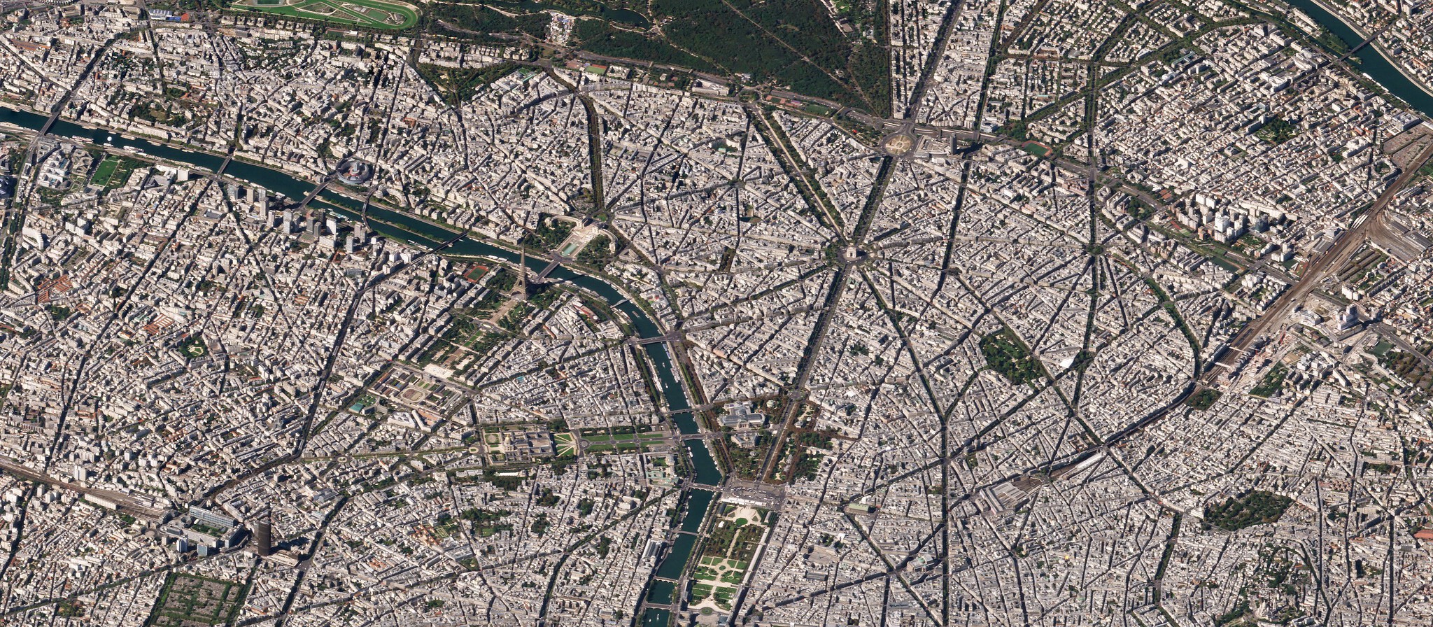
This module combines spatial data analysis and satellite imagery. Topics include the sf and terra packages, nighttime lights as economic proxies, deforestation measurement, and spatial econometrics.
Lecture slides
Code
Check the course repository for the R scripts.
Key packages: sf, terra, rnaturalearth, ggplot2
Further resources
- Donaldson and Storeygard (2016): The View from Above: Applications of Satellite Data in Economics (JEP)
- Robin Lovelace, Jakub Nowosad, and Jannes Muenchow: Geocomputation with R (free online book)
- Henderson, Storeygard, and Weil (2012): Measuring Economic Growth from Outer Space (AER)
- sf package documentation
- terra package documentation